
South Salt Lake ZIP Codes and Their Coverage
Four ZIP or ZCTA areas intersect the South Salt Lake records geography in the research reviewed. Only three are described as regular postal labels commonly used for South Salt Lake deliveries, while Census data shows a partial 84107 intersection that needs address-by-address checking. The ZIP number can narrow a search, but it cannot establish the city boundary or tell you which households share a building.
| ZIP code | Areas connected with South Salt Lake | Postal city label | Notes |
|---|---|---|---|
| 84106 | South Salt Lake portions, especially eastern and southern residential or commercial corridors | USPS commonly labels Salt Lake City, UT 84106 | City boundary and postal city differ |
| 84107 | Census ZCTA intersects the South Salt Lake place; primarily Murray and Salt Lake Valley service area | Salt Lake City or Murray-area label must be checked | No exact city delivery list was located |
| 84115 | South Salt Lake core and neighboring Salt Lake City or Millcreek portions | South Salt Lake, UT 84115 appears for at least one station; many addresses use Salt Lake City | ZIP line is not the municipal line |
| 84119 | Western South Salt Lake portions and West Valley City area | West Valley City, UT 84119 | City and ZCTA mismatch is expected |
There is no single South Salt Lake post-office boundary that can replace a street address check. Treat the postal city as a delivery label, then verify the land with the county parcel system and the municipal boundary.
South Salt Lake ZIP Code Directory Address Check
The USPS lookup is the proper first check for a mailing ZIP. The inspected USPS page provides an address-to-ZIP form and warns that its output is an address-location result, not a boundary statement. Type the complete delivery address, keep the returned city label, and save the date of the check. A Salt Lake City postal city does not rule out South Salt Lake, and a South Salt Lake label does not prove the parcel sits inside every city line.
The county route answers the land question. Search the Assessor by owner, address, or parcel number, then compare the GIS parcel result. If a ZIP search returns more than one place, use the parcel ID and legal description rather than trying to force the postal label into the city name. No official USPS image was available in the manifest, so this page relies on the live USPS form and the county’s captured fields.
Read the South Salt Lake City History page before using this image as a geography clue.
The South Salt Lake history source explains the city’s relationship with nearby Salt Lake City, West Valley City, and Millcreek. That local geography is why a ZIP code directory needs a municipal check.
South Salt Lake ZIP Code Directory Search
A ZIP code search works best as a narrowing step. The Assessor can accept address and parcel searches, and its legacy form exposes a ZIP-capable street layout. The voter status form asks for city and ZIP with a name, birth date, and street address. The Census ZCTA is useful for broad geography, but the research does not establish a complete South Salt Lake 84107 delivery list. Verify before treating a ZIP result as a local resident lead.
- Check the full delivery address in the USPS ZIP lookup.
- Run the Assessor search with the ZIP, street parts, or parcel number available.
- Open the GIS result and note the municipal parcel and mailing address.
- Use Vote.Utah.gov only when you have the name and required status fields.
- Once the ZIP narrows to a street, switch to the South Salt Lake street directory for address-level work.
A full voter file request is a separate channel through Utah’s election office. It may include ZIP-related address and district fields, but protected date-of-birth, government ID, Social Security, phone, and email fields remain closed.
South Salt Lake ZIP Code Directory Assessor Fields
The Salt Lake County legacy assessor form breaks a location into owner prefix, frontage number, direction, street name and number, street type or direction, and parcel prefix. The current Find a Parcel route supports owner, address, and parcel number. The ZIP can help sort the first result, but the parcel ID is the safer key when a postal city and municipal city disagree.
| Field | ZIP search use | Result to save |
|---|---|---|
| Street direction | Separates similar street names in one ZIP | Direction exactly as returned |
| Street name and type | Checks a postal address against situs | Full street string |
| ZIP | Narrows the parcel result set | ZIP and postal city together |
| Parcel number | Moves from postal geography to land | Parcel ID and legal description |
| Owner name | Tests a person or business clue | Owner, not assumed occupant |
The Assessor and GIS tools are complementary. A ZIP result can identify a parcel, while the map shows its shape and nearby parcels. Neither is a current household census.
For a catalog or computer fallback, open the Granite Branch Library listing before using this local research image.
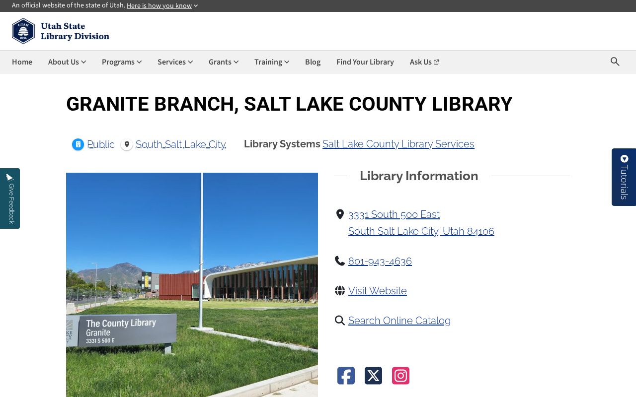
The Granite Branch listing confirms an in-city library route for catalog and computer help when a ZIP search needs a local fallback.
South Salt Lake ZIP Code Directory Boundary Check
ZIPs are built for mail delivery, while a city boundary is a legal line and a ZCTA is a Census statistical shape. South Salt Lake touches Salt Lake City, West Valley City, and Millcreek, so a delivery label may name a neighboring postal city. The city’s 1990s annexations add another reason to compare the date and jurisdiction of a record. Use the parcel and legal description when a boundary question matters.
- ZIP code
- A postal routing label for delivery areas, not a city incorporation line.
- ZIP+4
- A more precise delivery extension added to a five-digit ZIP.
- PO-box ZIP
- A ZIP used for post-office boxes rather than ordinary street delivery.
- Unique ZIP
- A ZIP assigned to one institution or narrow address group.
- Carrier route
- A delivery route inside a broader ZIP area.
South Salt Lake ZIP Code Directory and 84107
The research maps 84107 as a Census ZCTA that intersects the South Salt Lake place, with a primary Murray and Salt Lake Valley service area. That is a statistical intersection, not a confirmed list of South Salt Lake delivery addresses. Do not turn a ZCTA map into a resident count or assume that every 84107 record belongs to the city.
Check USPS for the delivery label, the county Assessor for situs and parcel, and the city or county GIS context for the municipal line. If the record is a voter match, keep the election source and date. If it is a property match, keep the parcel and mailing address separate. These small notes prevent a ZIP code directory from mixing postal, Census, and legal geography.
South Salt Lake ZIP Code Directory History
South Salt Lake incorporated on September 29, 1938 after a failed Salt Lake City annexation effort and a community push for its own sewer system. It became a city in 1950, and 1990s annexations changed the later municipal scope. ZIP labels do not reset at those civic dates. An older property, directory, or newspaper reference may use Central Park, Millcreek, Southgate, or Salt Lake City even when a later parcel record says South Salt Lake.
The city history is helpful context, not a replacement for a parcel record. Search the old place label, then compare the address, plat, and legal description with the county source. This is also why a historic resident search should not be limited to a modern ZIP.
What a ZIP Search Does Not Reveal
A ZIP is not a household roster. The Assessor can show an owner and mailing data, not every occupant. The voter system shows registration within its legal scope and keeps protected fields out of public view. City permits and business licenses identify an address-linked application or operating location, not every person connected with the place. DMV, utility, delivery, and private household data are not open ZIP lists.
Safe at Home participants may use a substitute address and mail forwarding, and Utah Code §77-38-6 requires agencies to accept it. At-Risk voter protections may also limit an address result. A blank or neighboring postal city is not proof that a person is absent from South Salt Lake.
Lawful use. Use ZIP information for address verification, family history, civic research, and a careful parcel search. Do not use a South Salt Lake ZIP code directory to stalk, harass, intimidate, or expose a protected person.
What Is Confirmed and What Still Needs USPS
The research confirms regular ZIP references for 84106, 84115, and 84119, and a Census intersection for 84107. It does not establish a confirmed ZIP realignment year, an exact South Salt Lake delivery-address list, or a special post-office boundary table. Those gaps should stay visible. A live USPS check is the right answer for a current mailing address, while county GIS is the right check for the municipal parcel.
Save both outputs. If a city, ZIP, and parcel disagree, contact the custodian instead of changing the address by guess. The same careful split helps when a voter status lead, business license, permit, or old directory uses a different place name.