
What South Salt Lake Neighbors Records Can Show
A block lookup is a set of narrow records, not one master list. The GIS and parcel systems answer where lots sit. The Assessor answers who is listed as an owner and where tax mail is sent. The voter system can test a named registration at an address, within the fields it makes public. City permits, code reports, and business licenses add address-linked activity. Older directories can show past households but do not belong in a current block count.
| Source | What it shows about a block | Access |
|---|---|---|
| Salt Lake County GIS Parcel Lookup | Address fields, parcel shapes, nearby lots | Free online lookup |
| Salt Lake County Assessor | Owner, parcel, value, mailing data | Free current and legacy search |
| Utah voter lookup | Registration status at a named address | Free form; protected fields withheld |
| South Salt Lake permits and code | Applications, work, complaints, officer zone | City pages, Cityworks, request route |
| Neighborhoods Department | Neighborhood map and outreach contact | Official city page |
Owners and occupants are different. A mailing address may be elsewhere, a parcel may have several units, and a person may be protected or absent from a public roll. Keep the block map and the person record as separate notes.
South Salt Lake Neighbors: Click From Parcel to Parcel
The county Parcel Lookup screen provides house number, directional, street name, street type, ZIP, parcel number, and a “Looking for” selector. That is enough to start from one address and find the parcel that anchors the block. The GIS viewer then lets you inspect the geometry around it. The research did not confirm every available layer or a formal buffer tool, so use the visible parcel relationship and verify a result with the Assessor.
- Enter the complete address, including directional and street type.
- Save the parcel number, situs address, and legal description returned.
- Open the map and click nearby parcel shapes one at a time.
- Compare each owner and mailing address with the parcel, without assuming occupancy.
- Use the city, voter, or Recorder route only for the narrow question it can answer.
For the entire named street rather than the immediate block, move to the South Salt Lake street directory. A block search is a short radius; a street search follows the address chain across a longer line.
Open the South Salt Lake Building Permits page before comparing this captured screen.
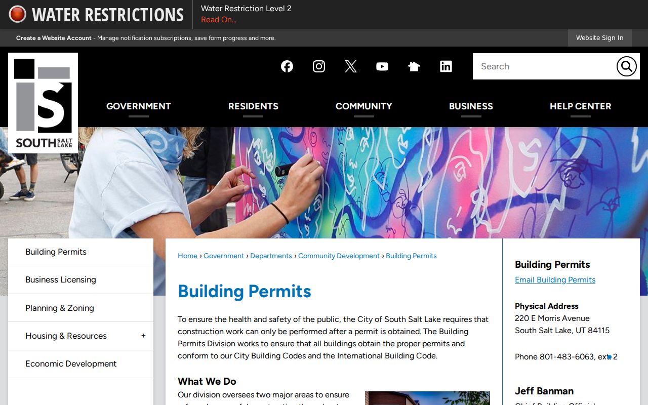
The South Salt Lake Building Permits page adds an address-linked record route when a block question concerns work or an application.
South Salt Lake Neighbors and Parcel IDs
A parcel ID is a better block key than a person’s name. Open the Assessor result, note the owner, value, address, and mailing data, then compare the same parcel in GIS. If a question reaches ownership history, use the Recorder’s public search or Data Services for deeds, liens, plats, legal descriptions, and chain-of-title information. A legal description can keep two records connected when a street label or postal city changes.
The Recorder’s public landing page requires agreement to terms and an address or parcel choice. Its warning says information may be at least 24 hours old and may require a title search. Data Services advertises $5 for 24-hour access, up to 150 data units, with larger packages available. The Recorder is at 2001 S State St, Suite N1-600, Salt Lake City, phone 385-468-8145. An official counter or County Archives appointment is a fallback when an online result ends.
Map terms. A situs address is the physical location. A mailing address is where tax mail goes. A parcel is a mapped land unit. A legal description identifies the land through recorded lot, block, tract, or similar detail.
South Salt Lake Neighbors and Voter Records
Vote.Utah.gov asks for first name, last name, date of birth, street address, city, and ZIP. A match can help confirm that a named person is registered at a place, but it is not a complete block roster. The public state file can include name, voter ID, age range, residential and mailing address, county, precinct and districts, party, active or inactive status, updated date, and vote history. Full date of birth, driver or state ID, Social Security, phone, and email remain protected.
Salt Lake County Elections provides a fuller-file request path. In 2026, SB 153 changed privacy classifications and created the At-Risk route. A block map should never be used to reverse-engineer a protected address. A blank result can reflect privacy, eligibility, timing, or a name mismatch.
South Salt Lake Neighbors and the Neighborhoods Department
The South Salt Lake Neighborhoods Department page invites residents to use the city neighborhood map and provides an outreach contact. It is a civic route, not a member directory. The map’s boundaries are approximate, so use it for community context and program routing, not parcel proof. It can help explain why a block is discussed as part of a neighborhood that differs from its postal city or historic label.
| Community route | Useful question | What it does not provide |
|---|---|---|
| Neighborhoods Department | Which city outreach area or map label applies | A household roster |
| Granite Branch Library | Catalog, computer, and local referral help | A private member list |
| City Library Archives | Microfilm, clippings, maps, and local history | A current block directory |
| City history route | Central Park, Millcreek, Southgate context | Proof of a present address |
No named neighborhood association roster was confirmed in the research. Use the city’s published outreach route rather than inventing an association contact or assuming that a map label has a private membership list.
Open the South Salt Lake Neighborhoods page before using this map image.
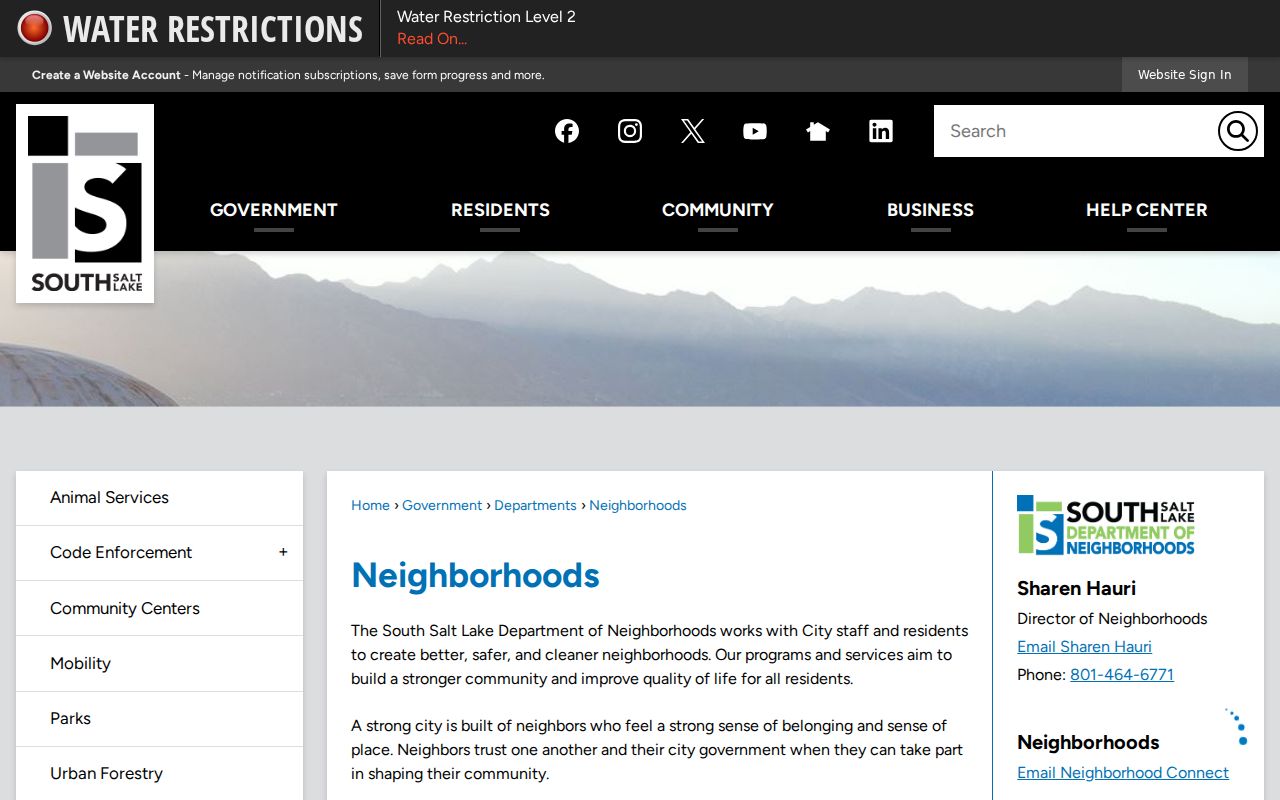
The official Neighborhoods page is the right source for current civic map and outreach information.
South Salt Lake Neighbors: Permits and Code
South Salt Lake building applications can contain a property owner, owner affidavit, general contractor, subcontractor, architect, plans, permit type, and address. The city lists additions, electrical work, fences, HVAC, new buildings, paving, plumbing, renovations, signs, structural work, and commercial alterations. Complete applications are reviewed within 15 business days. These records can show work or an applicant tied to the block, but they do not prove who lives there.
Cityworks instructions say completed applications can be searched by permit or license number or address after login. The guide documents document upload and download, online payment, account setup, and email MFA beginning in April 2026. Code Enforcement reports ask for the reporter’s name, phone, address, and reason, and the officer zones cover 2100–2700 South, 2700–3300 South, and 3300–3900 South. A complaint is an intake record, not a finding about a neighbor.
South Salt Lake Neighbors and Business Licenses
South Salt Lake requires a business operating within city limits to hold a license for its application address. Monthly issued-license pages can show business name, street address, suite, ZIP, and case-type description. The city notes that some categories are omitted. A location license is not a people list, but it can explain activity at a parcel edge or storefront.
Utah Commerce can cross-check the entity name, number, filing date, status, principals, registered agents, and filings. DOPL offers public verification and a disciplinary search by entity name or license number. Those state records describe a filing or credential, not every person who uses a building.
Central Park, Millcreek, and Southgate Shape the Block Story
South Salt Lake’s current block sits on older community layers. Pioneer farms developed after 1847, Jesse Fox Jr. developed Central Park in 1890, Granite School District formed in 1904, and the city incorporated in 1938 after a failed annexation effort and the need for its own sewer system. It became a city in 1950, and 1990s annexations changed the later line. A historic newspaper, directory, or map may use a neighborhood label rather than South Salt Lake.
Street names can offer a check. Vidas Avenue and Beryl Avenue honor Jesse Fox’s daughters. The city history says Leslie Avenue has a disputed origin. Preserve the old wording and compare it with a plat or legal description before deciding that a household moved.
Official Rolls and Commercial Neighbor Tools Differ
Official rolls are narrow and accountable to a custodian. The Assessor is best for parcel and owner information. GIS is best for mapped relationships. The Recorder is best for recorded instruments. The voter form is best for a named status check, within the fields permitted by Utah law. City permits, code reports, and business licenses show address-linked activity. Each source can be dated and corrected through its office.
Commercial neighbor tools may combine public and purchased data, but their matches can be stale, costly, or hard to explain. They do not replace a parcel record, voter custodian, court clerk, or city department. Do not infer a household from a category result, and do not use any result to make contact with a person who has not invited it.
Privacy Limits on a South Salt Lake Neighbor Lookup
There is no public household roster for a South Salt Lake block. Renters, children, boarders, and other household members may not appear in property records. DMV address data is restricted under the federal DPPA, and utility and delivery records are not open. Sealed, expunged, juvenile, private, controlled, and protected records may be absent. Safe at Home gives qualifying survivors a substitute address and mail forwarding, and Utah Code §77-38-6 requires agencies to accept it.
Utah Code §76-5-106.5 describes stalking as a course of conduct that can include monitoring, following, observing, photographing, surveilling, repeated communication, or approaching a person. A public parcel map does not give permission to watch or pressure someone.
Lawful use. Use South Salt Lake neighbor records for block history, parcel research, civic participation, and personal safety awareness. Do not use a neighbor lookup to stalk, harass, intimidate, threaten, or expose a protected address.